The Pacific Arc — a grand journey from Santiago, Chile to Raja Ampat, Indonesia
Grand Journey 03

The Pacific Arc

Sixty days across the largest empty space on the map — the Pacific. From the Atacama’s dark skies to Rapa Nui’s moai, French Polynesia, New Zealand’s fjords, the Australian Red Centre and the reefs of Raja Ampat.

33°27′S 70°39′W → 00°30′S 130°30′E

60Days, escorted
6Countries
6Chapters
17.5kKilometres
The route

The Pacific covers a third of the planet and almost nobody crosses it slowly. The Pacific Arc does. It treats the world’s largest ocean not as a gap between places but as the place itself — a sixty-day arc from the desert coast of Chile to the coral heart of the Coral Triangle.

You begin on dry land, in the Atacama, under the clearest night sky on Earth. Then you go to sea: Rapa Nui, the loneliest inhabited island anywhere; the lagoons of French Polynesia; the fjords of southern New Zealand; the red centre of Australia; and finally Raja Ampat, the most biodiverse marine environment ever surveyed.

It is the gentlest of our grand journeys in pace and the boldest in geography — a reminder that the blue parts of the map are not empty at all.

AtacamaRapa NuiFrench PolynesiaNew ZealandUluruRaja Ampat

Santiago, Chile  →  Raja Ampat, Indonesia

Chapter by chapter

The journey, told the way it is travelled.

Scroll east through every leg of the route — drag, swipe or use the arrows. Each chapter is a place, a story, and where you sleep.

Santiago & the Atacama — Atacama Desert, ChileDays 1–6
Atacama Desert, Chile · 23°50′S 68°12′W

Santiago & the Atacama

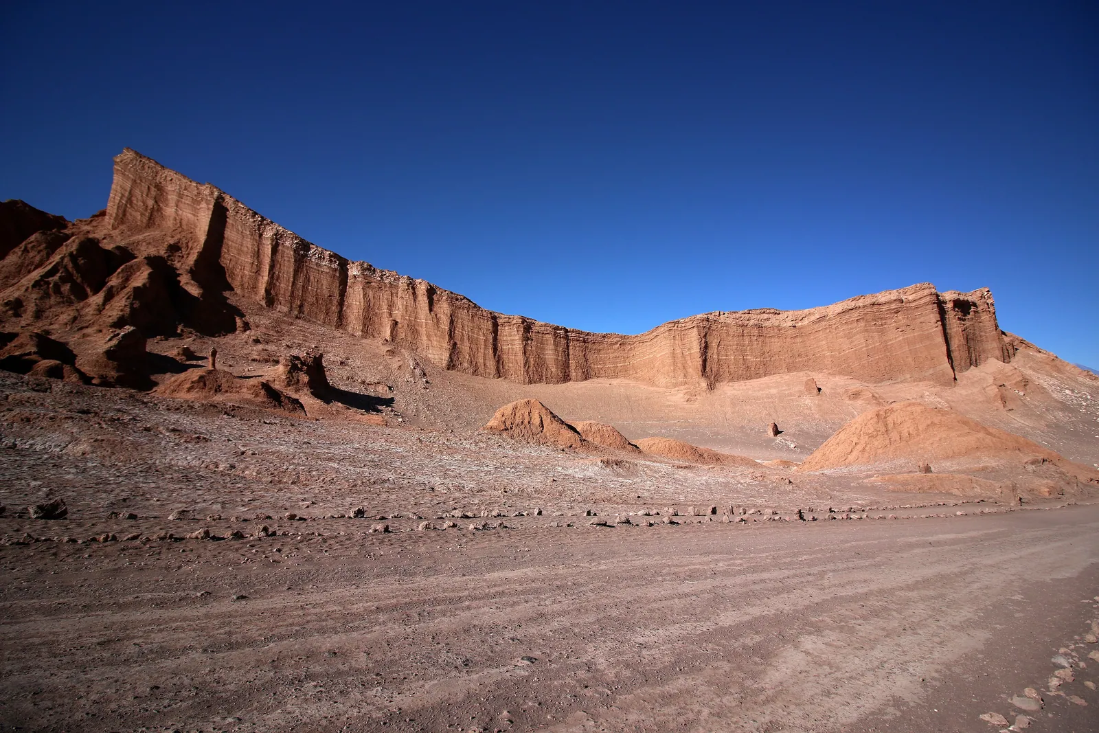
The arc begins on land, in the driest desert on Earth, where observatories cluster because the sky is so clear. A fitting overture: you look up at the Pacific’s sky before you ever touch its water.

CountryChile
ClimateHyper-arid
SkiesDarkest on Earth
Rapa Nui — Easter IslandDays 7–12
Easter Island · 27°07′S 109°22′W

Rapa Nui

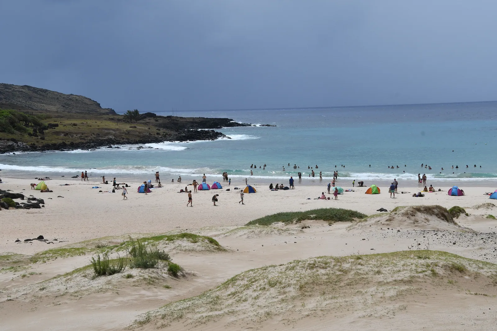
The most remote inhabited island in the world — 3,500 kilometres from anywhere — and its 900 moai. Few places on the planet make you feel the scale of the Pacific so completely.

TerritoryChile
Statues~900 moai
ListedUNESCO 1995
French Polynesia — Bora Bora & the TuamotusDays 13–24
Bora Bora & the Tuamotus · 16°30′S 151°45′W

French Polynesia

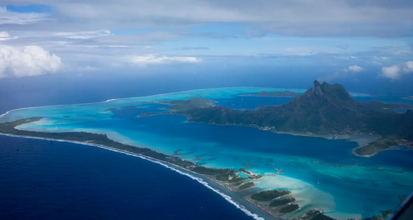
The lagoons everyone pictures when they picture the Pacific — and the ones they do not: the coral atolls of the Tuamotus, where you sail, snorkel and drift between motus.

CountryFrance (overseas)
Islands118 in five groups
StyleLagoon + sail
Aotearoa New Zealand — Fiordland, New ZealandDays 25–38
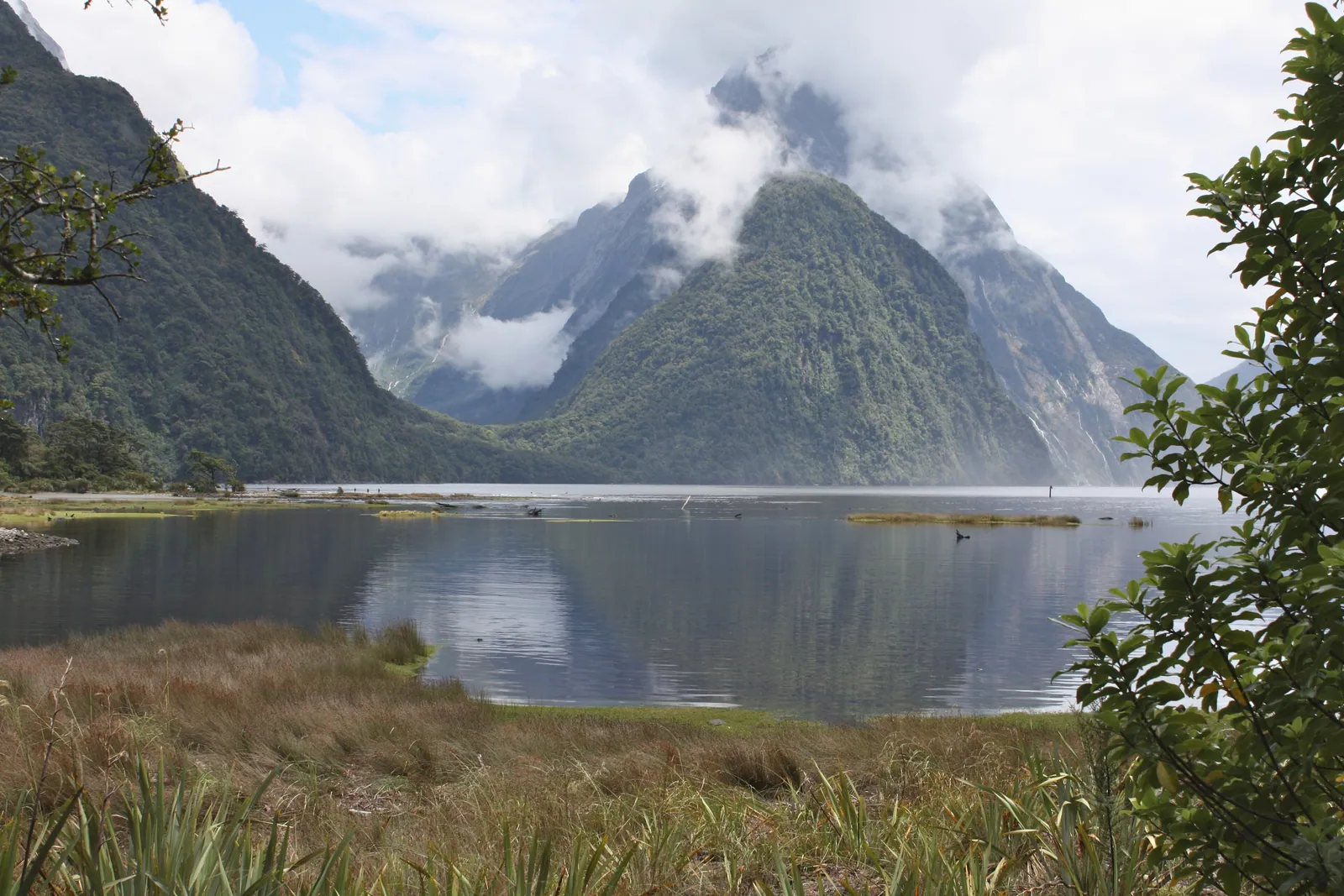
Fiordland, New Zealand · 44°40′S 167°55′E

Aotearoa New Zealand

Across the date line to the green, vertical south of New Zealand: Fiordland’s sounds, the Southern Alps, and walking trails through some of the least-touched temperate wilderness anywhere.

CountryNew Zealand
ParkFiordland
NoteTe Wahipounamu
The Red Centre — Uluru, AustraliaDays 39–48
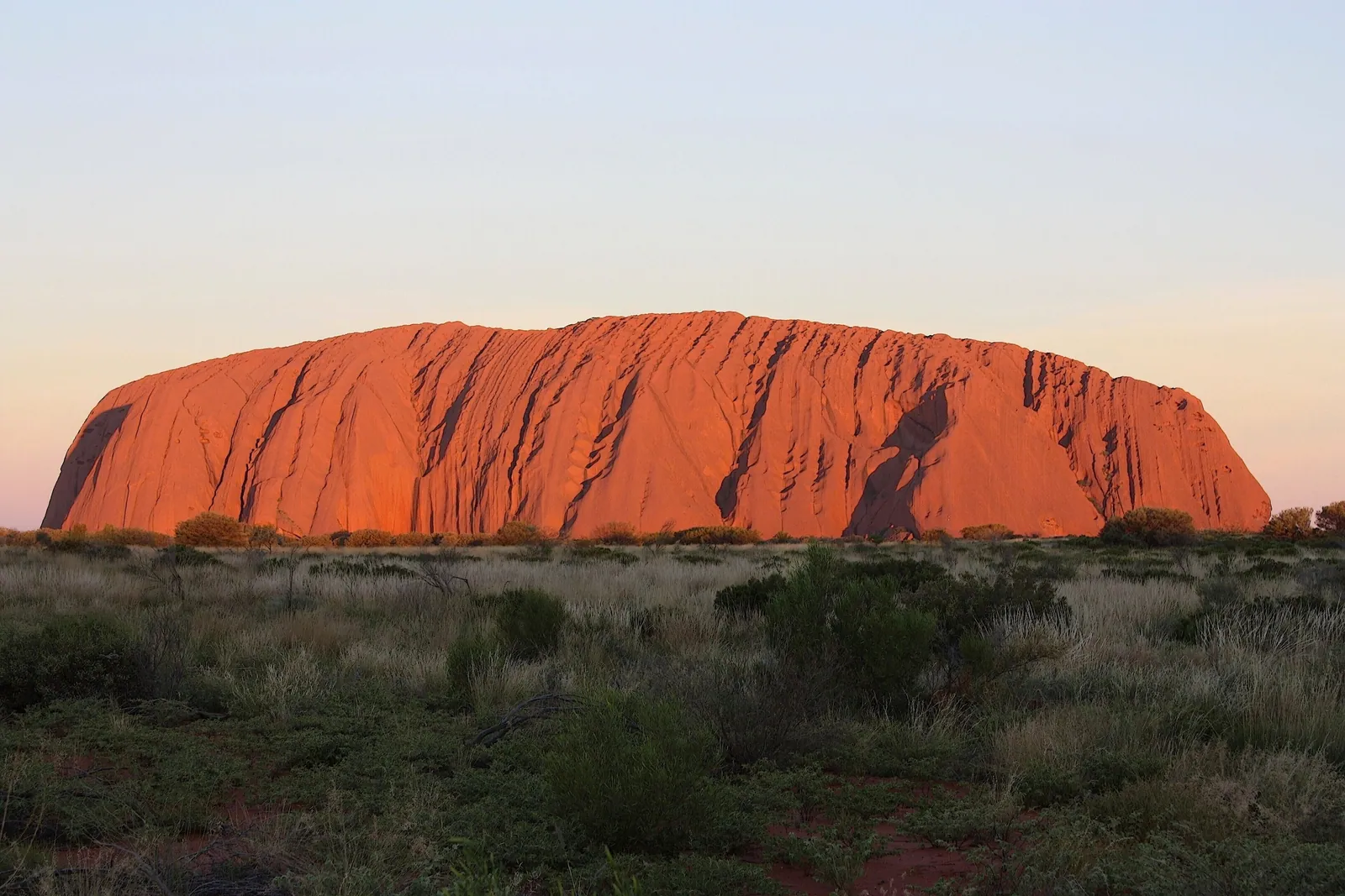
Uluru, Australia · 25°20′S 131°02′E

The Red Centre

Inland to the heart of Australia and Uluru — a single mass of sandstone, sacred to the Anangu, glowing through every colour of red at sunset. The arc’s only true desert interior.

CountryAustralia
RockUluru, 348 m
CustodiansAnangu people
Raja Ampat — West Papua, IndonesiaDays 49–60
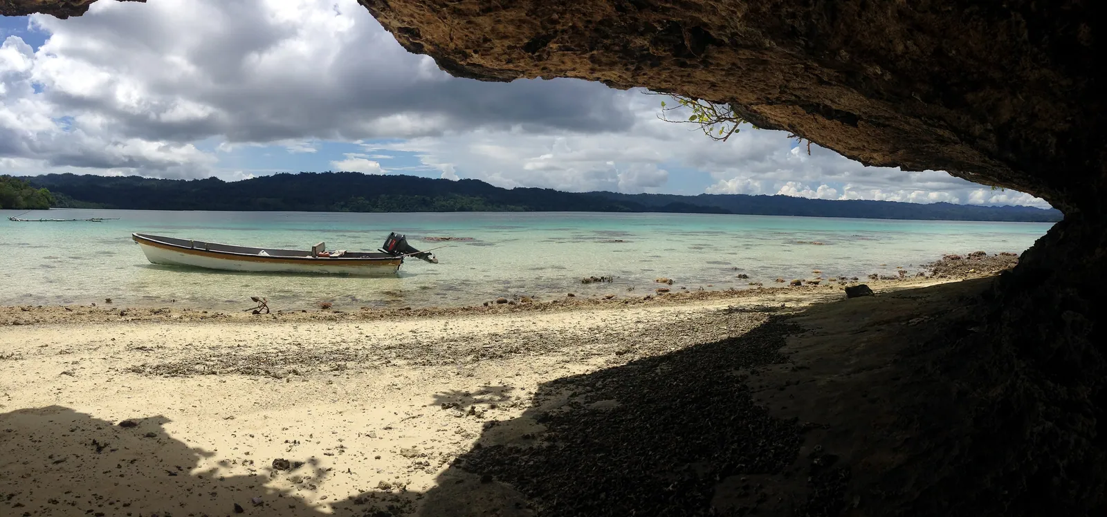
West Papua, Indonesia · 00°30′S 130°30′E

Raja Ampat

The journey ends in the Coral Triangle — the most biodiverse marine region on Earth — exploring the karst islands of Raja Ampat by traditional phinisi schooner.

CountryIndonesia
RegionCoral Triangle
VesselPhinisi schooner
The practical line

Everything you need to weigh it up.

BeginsSantiago, Chile
EndsSorong, Indonesia (for Raja Ampat)
Duration60 days, escorted, with sea and island modules
Best seasonApril to October — outside the South Pacific cyclone season
FitnessEasy to moderate. Optional diving and day hikes; the pace is unhurried
Group sizePrivate, or small group of up to 12
IncludedAll hotels and charter vessels, flights, guides, most meals, dive guiding
Intensity

Easy to moderate — island time, with some hiking and diving

Best season

April to October

From

From €41,000 per person

Comprehensive — hotels, internal travel, guiding, permits. International flights quoted separately.

Field Notes

The Pacific Arc — your questions

Do I need to be a diver for the Pacific Arc?

No. Diving is optional and concentrated in French Polynesia and Raja Ampat. Both regions are equally rewarding for snorkellers, and the water is warm and clear. If you wish to learn, we can arrange certification during the French Polynesia module with extra notice.

How remote is Rapa Nui, really?

Rapa Nui (Easter Island) is the most remote inhabited island on Earth — about 3,500 kilometres from mainland Chile and 2,000 kilometres from the nearest inhabited island. It is reached by a five-and-a-half-hour flight from Santiago. That isolation is precisely what makes it extraordinary.

When is the best time to travel the Pacific Arc?

Between April and October. This window sits outside the South Pacific cyclone season, gives calm seas for the sailing modules, and brings mild, dry weather to New Zealand and the Australian interior.

Is there a lot of flying involved?

The Pacific is vast, so the Arc does include several long flights between island groups — there is no overland alternative across open ocean. Within each region, however, travel is by boat, charter vessel and short hops, and we offset the carbon of every flight through the journey.

Begin a journey

Travel The Pacific Arc.

Take the full arc, or a single chapter of it. Either way, the conversation is the first step.