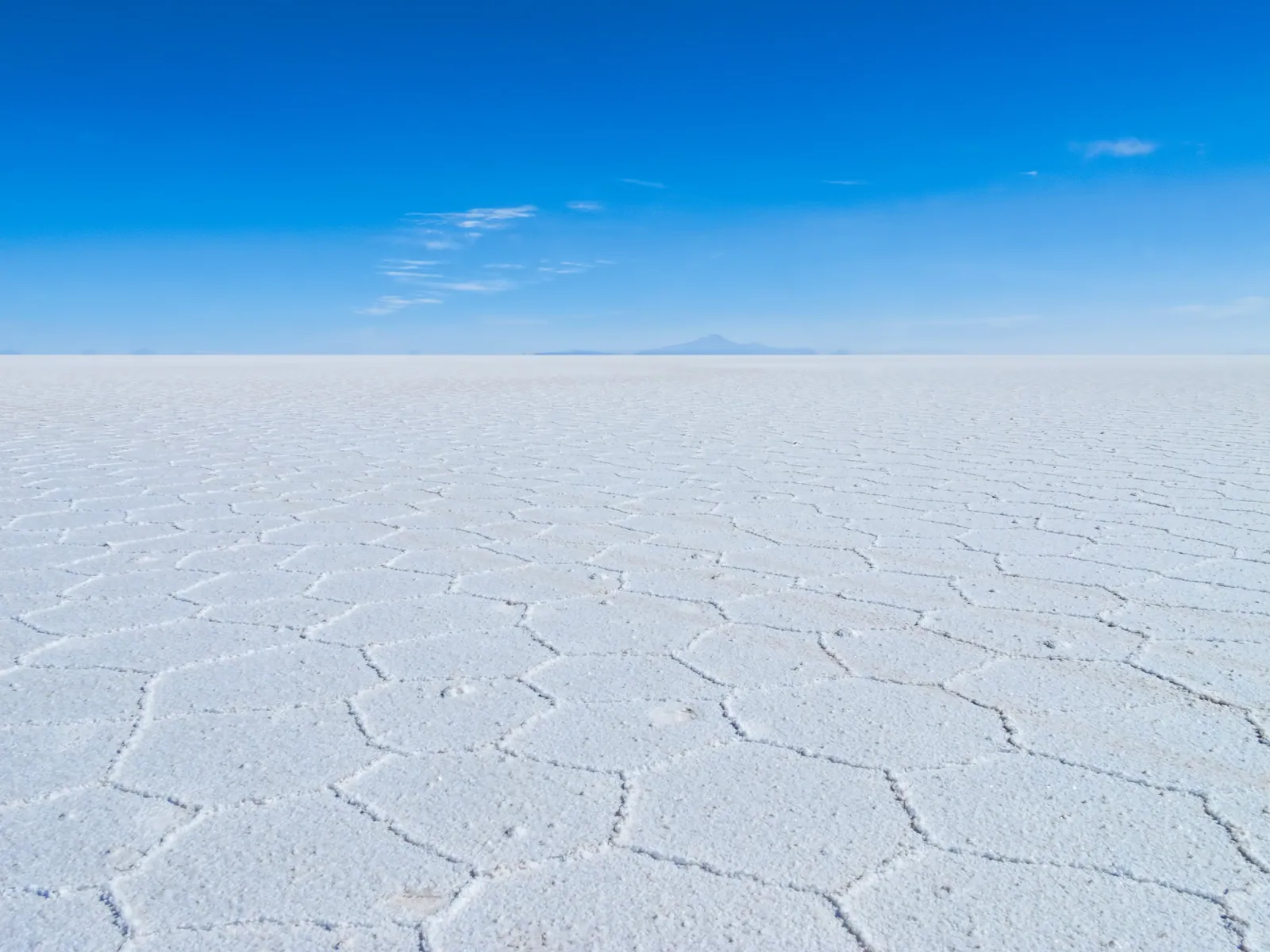
The Coloured Lagoons of the Eduardo Avaroa Reserve
South of the salt flat lies a high desert of red, green and white lakes, geysers and flamingos. A guide to the Eduardo Avaroa reserve — why the lagoons change colour, and what it takes to travel there.
Beyond the southern edge of the Salar de Uyuni, the altiplano rises into the Eduardo Avaroa Andean Fauna National Reserve — a remote high-desert wilderness of volcanic peaks, steaming geyser fields and lakes that glow red, white, green and turquoise. It is usually visited as the second and third days of a multi-day overland route from Uyuni, climbing steadily toward the Chilean border near San Pedro de Atacama.
The lagoons are not coloured by accident or by trick of light. Their hues come from minerals, sediments and microorganisms in the water — and from the wind that stirs them. Three James’s, Andean and Chilean flamingos feed in the shallows of several lakes, including the famous red Laguna Colorada. This is some of the highest, driest, most thinly populated terrain a traveller can reach by road in South America.
A reserve at the roof of the desert
Created in 1973, the reserve protects roughly 7,000 square kilometres of southwestern Bolivia, with elevations climbing from around 4,000 metres to well above 5,000. It is a landscape of extremes: scant rainfall, ferocious wind, intense sun by day and hard frost by night, set among dormant and active volcanoes along the spine of the Andes.
Despite the harshness, life persists. Vicuñas graze the sparse grasslands, viscachas shelter among the rocks, and the lakes draw thousands of flamingos. The reserve is one of the strongholds of the rare James’s flamingo, a species once thought extinct and rediscovered here in the mid-twentieth century.
Why the lagoons change colour
Laguna Colorada, at about 4,278 metres, owes its blood-red and rust tones to red sediments and to pigmented algae and other microorganisms that thrive in its mineral-rich, briny water. Borax deposits fringe the lake in startling white, and the colour visibly shifts with the time of day and the strength of the wind, which churns the pigments through the shallows.
Further south, Laguna Verde sits beneath the near-perfect cone of Licancabur volcano. Its vivid green-to-turquoise appears when wind disturbs sediments containing minerals such as copper, arsenic and other compounds; on a still day the same lake can look almost grey. The colours, in other words, are a chemistry that the weather switches on and off.
Geysers, hot springs and the road south
The route through the reserve strings together a sequence of set-pieces. Sol de Mañana is a geothermal field at roughly 4,900 metres where mud pools boil and fumaroles hiss sulphurous steam — best seen in the cold early morning when the vapour is thickest. Nearby, the Polques hot springs offer a rare warm soak in this frigid country, with the lagoon and mountains in view.
The Siloli desert, often crossed on the way, holds the much-photographed Árbol de Piedra — a rock weathered by wind-blown sand into the shape of a stunted tree. The whole transit is high, exposed and slow, which is precisely what gives it its sense of edge-of-the-world remoteness.
What travel through the reserve actually involves
There are no towns and no comfortable infrastructure inside the reserve. Travel is by 4x4 over rough tracks, and accommodation on the standard multi-day route is in simple, basic refuges — shared, cold at night, and short on amenities. This is overlanding in the original sense, and it is part of the appeal.
Altitude is the central consideration: nights are routinely spent above 4,000 metres, higher than the salar itself. Travellers should already be well acclimatised before entering the reserve, dress in serious warm layers, and expect a demanding but unforgettable couple of days. The standard southbound route ends at the Bolivia–Chile border, a short drive from San Pedro de Atacama.
The reserve within Andes to Antarctica
On the Andes to Antarctica journey, the coloured lagoons follow naturally from the salt flat, carrying travellers from the white expanse of the salar up into the volcanic desert and toward the Atacama. The progression is deliberate — a single, coherent crossing of the altiplano rather than a set of disconnected day trips.
Because the reserve sits so high and so far from help, we treat it with respect: travellers reach it already adjusted to altitude, guides carry oxygen and monitor everyone daily, and the pace allows the landscape to be absorbed rather than rushed. The reward is a stretch of Earth that feels genuinely untouched.
Quick answers
Why is Laguna Colorada red?
Its red and rust colours come from red sediments in the lakebed and from pigmented algae and microorganisms that thrive in the mineral-rich, briny water. White borax deposits ring the shore. The shade shifts noticeably through the day and with the wind, which stirs the pigments through the shallow water.
Can you see flamingos in the Eduardo Avaroa reserve?
Yes. Several lakes in the reserve, Laguna Colorada among them, host large numbers of flamingos — including the rare James’s flamingo, alongside Andean and Chilean flamingos. They feed on microorganisms in the brackish water. Numbers vary by season, with many birds present through the warmer months.
How high is the Eduardo Avaroa reserve?
Very high. Elevations range from around 4,000 metres to over 5,000, and nights on the standard route are typically spent above 4,000 metres — higher than the Salar de Uyuni. Travellers should be well acclimatised beforehand and prepared for hard frost, fierce wind and basic accommodation.
Let the reading become a route.
When an article sparks something, our planners are the next step. Tell us what you are dreaming of.